Recevez les dernières nouvelles de la STL et de ses partenaires! Remplissez le formulaire d'inscription, confirmez votre abonnement dans votre boîte courriel et vous recevrez nos prochaines communications.
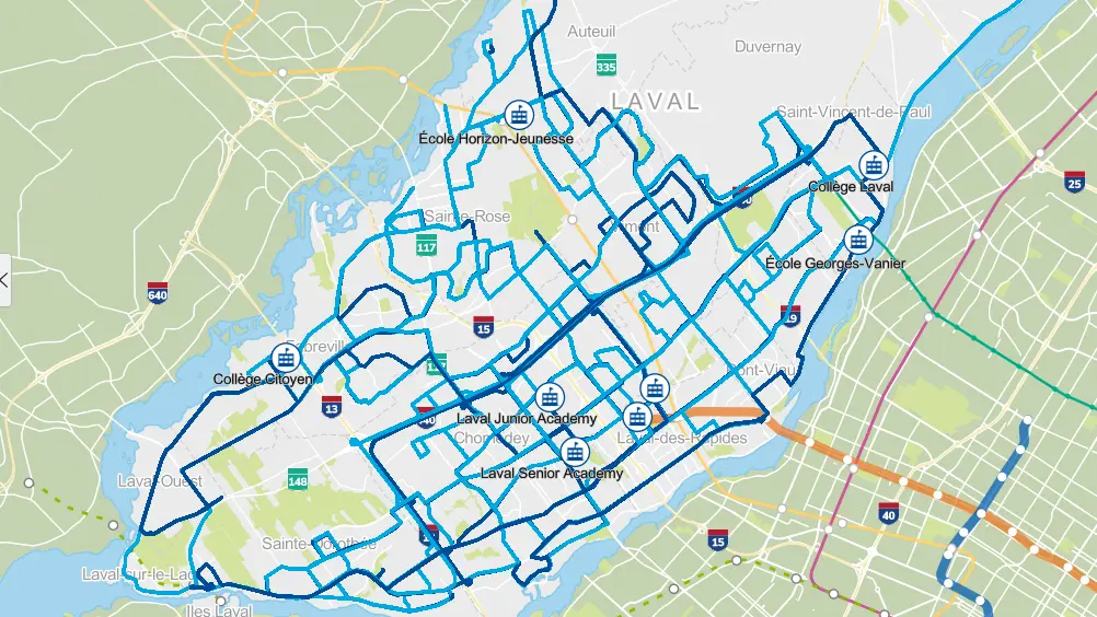
Lignes scolaires intégrées
Nos circuits scolaires desservent plusieurs écoles secondaires privées et certaines écoles publiques de Laval.
Pour connaître les lignes desservant votre école, vous pouvez utiliser la carte interactive ou consulter la section plus bas pour obtenir la liste des lignes desservant votre école. Vous y trouverez des fichiers PDF téléchargeables et imprimables contenant les circuits effectués ainsi que les horaires complets.
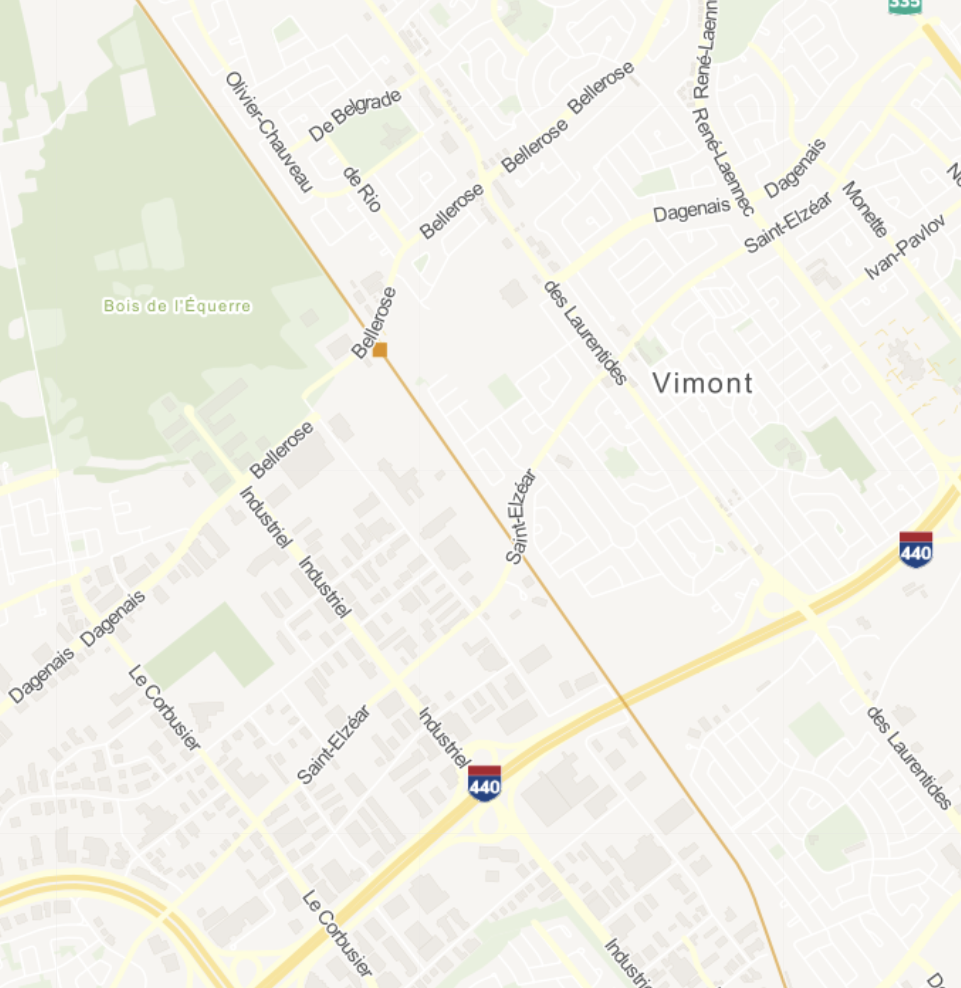
Carte interactive :
trouvez votre ligne et votre arrêt
Pour rechercher les lignes desservant votre quartier :
1. Sélectionnez votre école dans la colonne de gauche.
2. Tapez votre adresse ou votre code postal dans la barre de recherche sur la carte.
3. Sélectionnez Aller ou Retour selon l'horaire que vous souhaitez obtenir (matin ou après-midi).
4. Zoomez dans la carte, puis cliquez sur le pointeur de votre arrêt pour voir apparaître les heures de passage.
5. Si aucune ligne scolaire intégrée ne dessert votre école dans votre secteur :
a) Recherchez un itinéraire sur un planificateur de trajet comme Google Maps ou Chrono.
b) Trouver l'horaire d'une ligne d'autobus sur notre réseau régulier.
c) Appelez notre Centre contact clients au 450 688-6520 pour obtenir un trajet.
Horaires et trajets
Voici la liste des écoles desservies par nos lignes scolaires intégrées. Certains circuits sont en service à l'aller et au retour, d'autres seulement au retour.
CONSULTATION SUR UN APPAREIL MOBILE
Si vous avez de la difficulté à voir les tableaux en entier, tournez l'écran en mode paysage (à l'horizontal).
Collège Citoyen
Collège Citoyen
| Ligne | Carte du trajet | Horaire par arrêt |
|---|---|---|
| 241C | Voir le circuit (PDF) | Voir l'horaire (PDF) |
| 273C | Voir le circuit (PDF) | Voir l'horaire (PDF) |
Collège Laval
Collège Laval
Collège Letendre
Avis
Collège Letendre
Avis
À noter : Tous les débarquements des lignes scolaires intégrées le matin se font au terminus Montmorency.
Élèves voyageant sur le réseau régulier : Aucun débarquement entre 7 h et 8 h en semaine aux arrêts situés sur de l'Avenir face au Collège Letendre et au coin de Jacques-Tétreault (ou face au terminus pour les lignes 42E et 63S). Veuillez débarquer un arrêt plus tôt ou au terminus Montmorency.
| Ligne | Carte du trajet | Horaire par arrêt |
|---|---|---|
| 71C | Voir le circuit (PDF) | Voir l'horaire (PDF) |
| 73C | Voir le circuit (PDF) | Voir l'horaire (PDF) |
| 75C | Voir le circuit (PDF) | Voir l'horaire (PDF) |
| 76C | Voir le circuit (PDF) | Voir l'horaire (PDF) |
| 78C | Voir le circuit (PDF) | Voir l'horaire (PDF) |
CQPEL
CQPEL
| Ligne | Carte du trajet | Horaire par arrêt |
|---|---|---|
| 49C | Voir le circuit (PDF) | Voir l'horaire (PDF) |
Georges-Vanier
Georges-Vanier
| Ligne | Carte du trajet | Horaire par arrêt |
|---|---|---|
| 59C | Voir le circuit (PDF) | Voir l'horaire (PDF) |
Horizon-Jeunesse
Horizon-Jeunesse
| Ligne | Carte du trajet | Horaire par arrêt |
|---|---|---|
| 45C | Voir le circuit (PDF) | Voir l'horaire (PDF) |
Laval Junior Academy
Laval Junior Academy
Laval Senior Academy
Laval Senior Academy
Réseau régulier de la STL
Votre école ou votre secteur ne sont pas desservis par une ligne scolaire intégrée? Planifiez votre trajet sur notre réseau d'autobus régulier.
Planifier un trajet
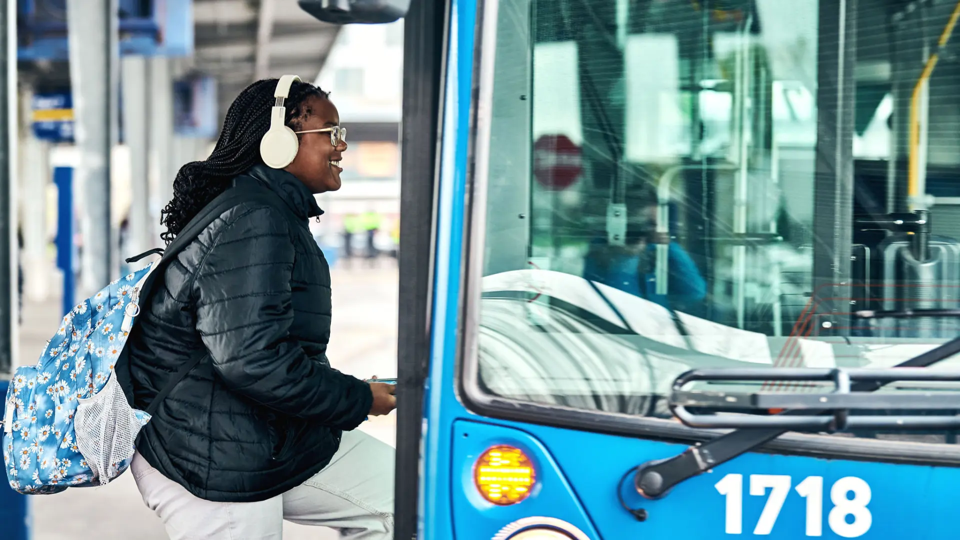
Embarque du bon pied!
Pour te rendre à l'école et te déplacer en autobus à Laval, tu peux compter sur la STL!
Première fois dans l'autobus? Pas de soucis! On t'explique toutes les étapes pour prendre l'autobus sans tracas.